

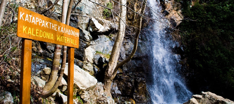
From the starting point (a) the trail passes through a dense forest and then runs alongside the Cold River (Krios Potamos), which has running water all year round. Eventual path passes by the Kalidonia Waterfall and finishes at the Psilodentro in Pano Platres.
In Troodos Square you can find the Environmental Information Centre for the Troodos National Forest Park.
Flora: While hiking you can study the endemic plants: Troodos sage (Salvia willeana), Purple Rock Cress (Arabis purpurea), Thorny gorse (Genista fasselata subsp. crudelis), Urse mint (Mentha longifolia subsp. cyprica), Aphrodite’s spurge (Euphorbia veneris), Golden oak (Quercus alnifolia).
Fauna: The main species of fauna found in the area are:
Mammals: Fox, hare, hedgehog.
Birds: Bonelli’s eagle, Eurasian jay, Wood pigeon, partridge, Cyprus warbler (endemic), Cyprus wheatear (endemic).
Reptiles: Cyprus viper, Cyprus snake (endemic).
| GPS coordinates of the starting point: | Lat: 34.914670 Lon: 32.870569 |
| GPS coordinates of the ending point: | Lat: 34.895785 Lon: 32.868541 |
| Altitude of the starting point: | 1,571m |
| Altitude of the highest peak: | 1,571m |
| Altitude of the end peak: | 1,238m |
| Starting point: | (a) 350m from the main road of Troodos Square Platres, 3km from the square. You can also access the starting point from the old Troodos Platres road, after the Presidential Summer Residence (b) At the Psilodentro (Tall Tree) above Pano (Upper) Platres. |
| Length: | 3km |
| Estimated duration: | 1.5 hour |
| Difficulty rate: | 3
|

Natural trails of Cyprus. Part XIV. Atalanti (Circular) – Troodos Forest


