GPS coordinates of the starting point: Lat: 34.920214 Lon: 33.197602
GPS coordinates of the ending point: Lat: 34.933480 Lon: 33.246317
Altitude of the starting point: 1,251m
Altitude of the highest peak: 1,251m
Altitude of the end peak: 677m
Starting point: Kionia picnic site. There are two access points to the trail- one from the Machairas monastery road that leads to Kionia, and the other from the Vavatsinia to Machairas road.
Length: 7km
Estimated duration: 2.5 hours
Difficulty rate: 3 (steep downhill path, especially towards the end)
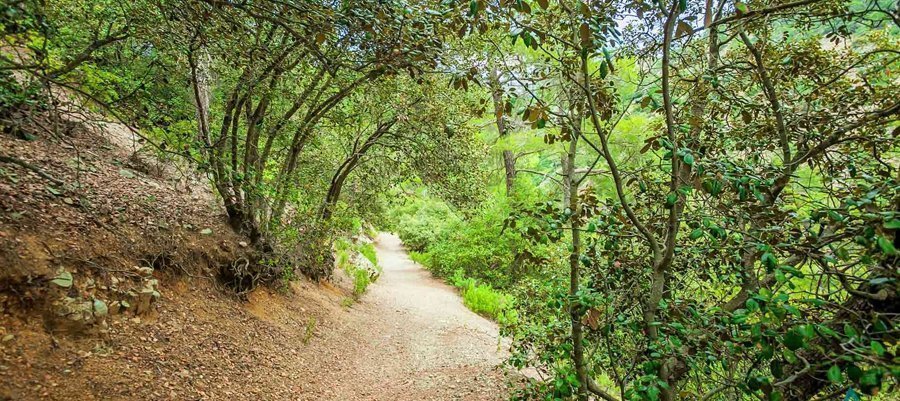
Points of interest: The trail starts at the Kionia picnic site, where you can find a fountain with drinking water, and runs through a forest section where it affords great views of the Mesaoria plain, which belongs to the Machairas National Forest Park a Natura 2000 site. There is a perennial strawberry tree on the trail, whilst the picnic site boasts perennial pine and arar trees. The trail ends at the Profitis Ilias picnic site, approximately eight kilometres from Lythrodontas and six kilometres from Mandra tou Kambiou, via dirt roads.
Flora: While hiking you can study the endemic plants: Shrubby knapweed (Ptilostemon chamaepeuce var. cyprius), Golden oak (Quercus alnifolia), Purple Rock Cress (Arabis purpurea), ‘Manouthkia’ (Pterocephalus multiflorus subsp. multiflorus – an evergreen small shrub with pale pink flowers).
Fauna: The main species of fauna found in the area are:
Mammals: Fox, hare, hedgehog.
Birds: Bonelli’s eagle, Eurasian jay, Wood pigeon, Partridge, Cyprus warbler (endemic),
Cyprus wheatear (endemic).
Reptiles: Cyprus viper, Black whip Snake, Cyprus lizard.
Courtesy of the CTO


