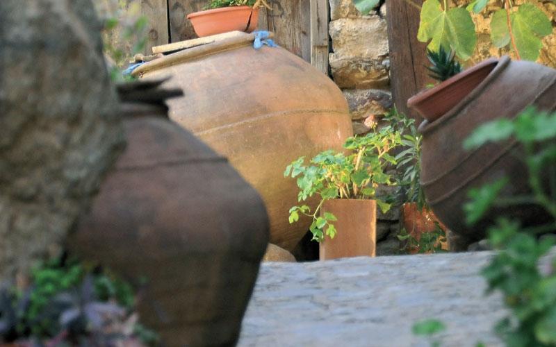
Starts: Ayia Eirini village. The starting point is accessible by car by dirt road from “Selladi tis Straorouthkias”, 2km from Spilia village.
Length: 5km
Estimated duration: 2.5 hours
Difficulty rate: 3
Steep uphill route
Points of interest: The trail passes through a pine forest, offering a beautiful view of the Bay of Morphou, ending in Limeria. At Selladi tis Straorouthkias trail joins with the Kourdali-Limeria trail, and they share a common trail for two km. You can visit various hideouts that were used by EOKA guerrillas during the anti-colonial struggle of 1955-59. The Kapoura picnic site is found 6km from the Ayia Eirini road towards Vyzakia, next to the Kapoura Forest Station.
Endemic plants: Golden oak (Quercus alnifolia), Thyme (Thymus integer), ‘Manouthkia’ (Pterocephalus multiflorus subsp. multiflorus),
Cyprus skullcap (Scutellaria cypria subsp. cypria).
Fauna: The main species of fauna found in the area are:
Mammals: Fox, hare, hedgehog
Birds: Bonelli’s eagle, Eurasian jay, Wood pigeon, partridge, Cyprus warbler (endemic), Cyprus wheatear (endemic)
Reptiles: Cyprus viper, Cyprus lizard, Black whip snake
COORDINATES OF STARTING POINT 497153 / 3870892
COORDINATES OF END POINT 495505 / 3872007
ALTITUTE OF STARTING POINT 906m
ALTITUTE OF HIGHEST PEAK 1217m
ALTITUTE OF END PEAK 1204m


