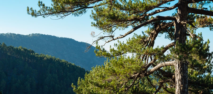
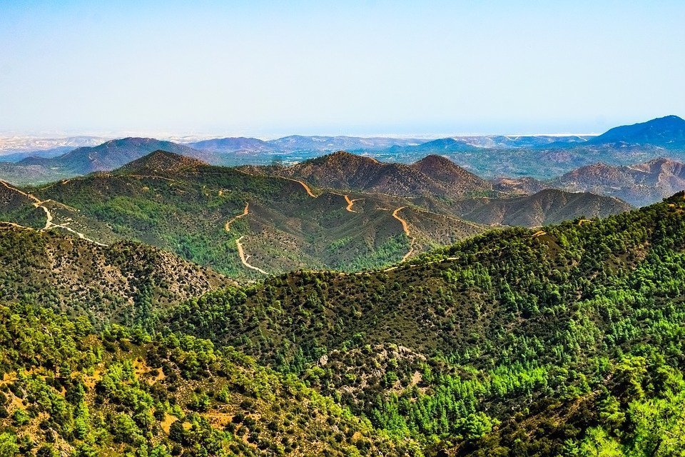
The trail passes through thickets of black pine and follows a route by the cliff’s edge, with views toward Chromium River, Solea Valley, Morfou Bay and the tip of Chionistra. The rich vegetation at the beginning of the trail, comprised of black pine and foetid juniper, gradually gives way to Calabrian pine at lower altitudes (below 1,400 metres). The whole trail is located within the Troodos National Forest Park, which is a Natura 2000 area. The route ends up on the Platania – Agios Nikolaos tis Stegis forest road.

For the first kilometre the route is common with the Kampos tou Livadiou Trail. At the end of the trail you have the choice between three routes that end up at Agios Nikolaos tis Stegis, the village of Kakopetria or Platania Forest Station. ‘Kampos tou Livadiou’ picnic site, situated near the starting point, has potable water.
Flora: While hiking you can study the indigenous plants: white beam (Sorbus aria ssp. cretica), barberry (Berberis cretica), terebinth (Pistacia terebinthus), strawberry tree (Arbutus adrachnae) and the endemic golden oak (Quercus alnifolia).
| GPS coordinates of the starting point: | Lat: 34.940102 Lon: 32.892387 |
| GPS coordinates of the ending point: | Lat: 34.975745 Lon: 32.888780 |
| Altitude of the starting point: | 1,723m |
| Altitude of the highest peak: | 1,723m |
| Altitude of the end peak: | 828m |
| Starting point: | Along the road that leads to Kampos tou Livadiou picnic site. |
| Length: | 8km |
| Estimated duration: | 3 hours |
| Difficulty rate: | 3 (smooth path at the beginning and downhill for the rest of the trail) |
Natural trails of Cyprus. Part XXV. Kampos tou Livadiou (circular)


