

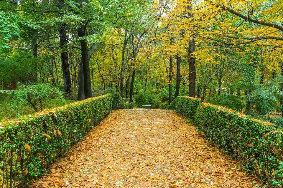
Almost the entire trail is located within the Troodos National Forest Park, which lies within Natura 2000 protected area. The last 300 metres of the trail are on a dirt road that is used by the residents of Amiantos for their agricultural activities.
Gabbro rock formations, i.e. ultrabasic plutonic rocks belonging to the Troodos ophiolite complex, prevail along the trail. The route ends up on the Karvounas – Amiantos road, approximately 1.4 kilometres from the village of Amiantos.
The A.G. Leventis Botanical Garden of Troodos and the Troodos Geopark Visitor Centre are located within the limits of the asbestos mine.
Flora
While hiking you will see the indigenous plants: plane (Platanus orientalis), Calabrian pine (Pinus brutia), strawberry tree (Arbutus adrachnae), terebinth (Pistacia terebinthus) and the endemic golden oak (Quercus alnifolia).
| GPS coordinates of the starting point: | Lat: 34.929738 Lon: 32.924810 |
| GPS coordinates of the ending point: | Lat: 34.927571 Lon: 32.934557 |
| Altitude of the starting point: | 1,308m |
| Altitude of the highest peak: | 1,315m |
| Altitude of the end peak: | 1,068m |
| Starting point: | Karvounas – Troodos road, 300 metres from Chrysovrysi Spring. |
| Length: | 1.5km |
| Estimated duration: | 1 hour |
| Difficulty rate: | 2 |


